

Heckman Ridge Community Forest Block


Visit Heckman Ridge…
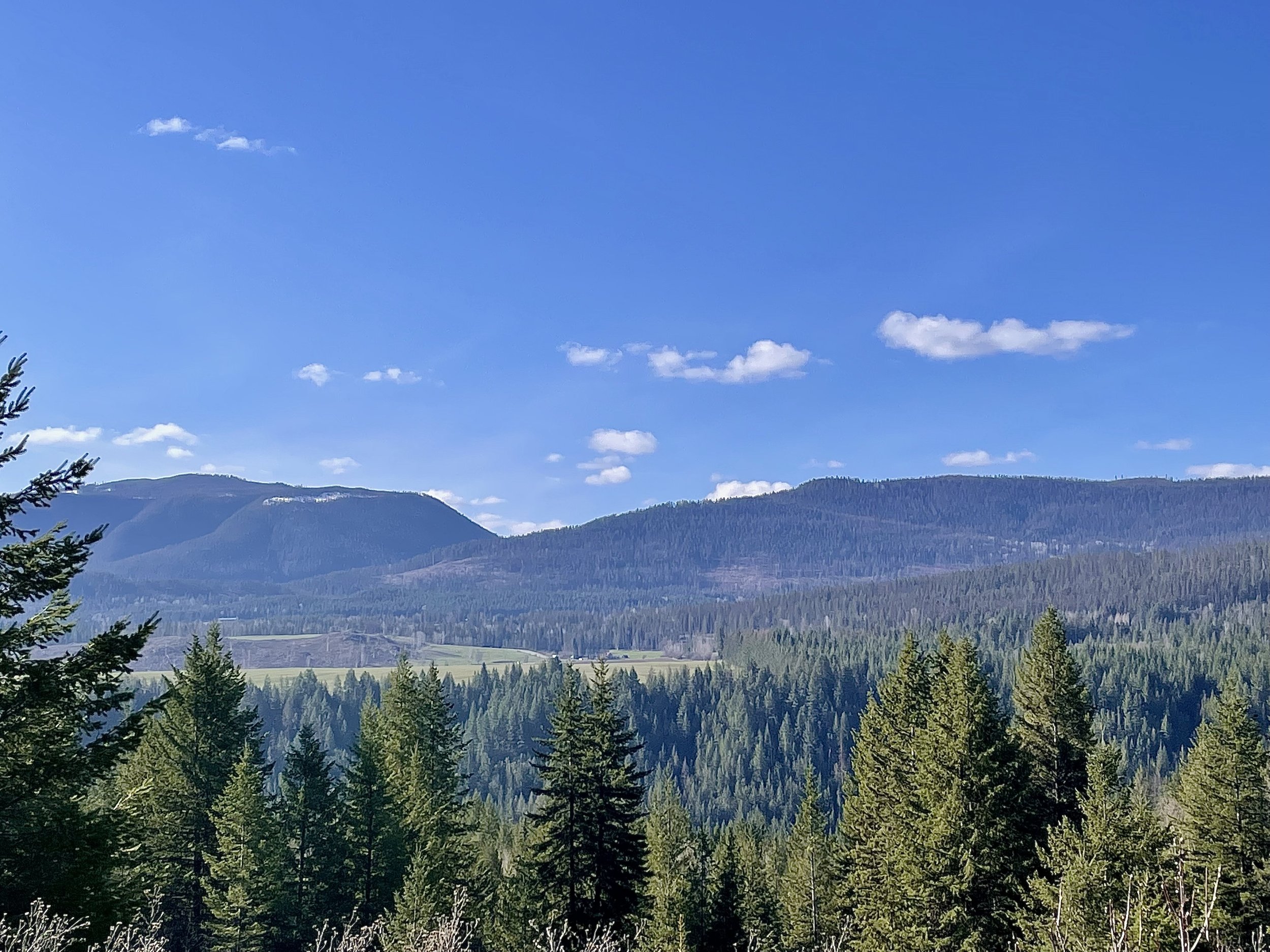
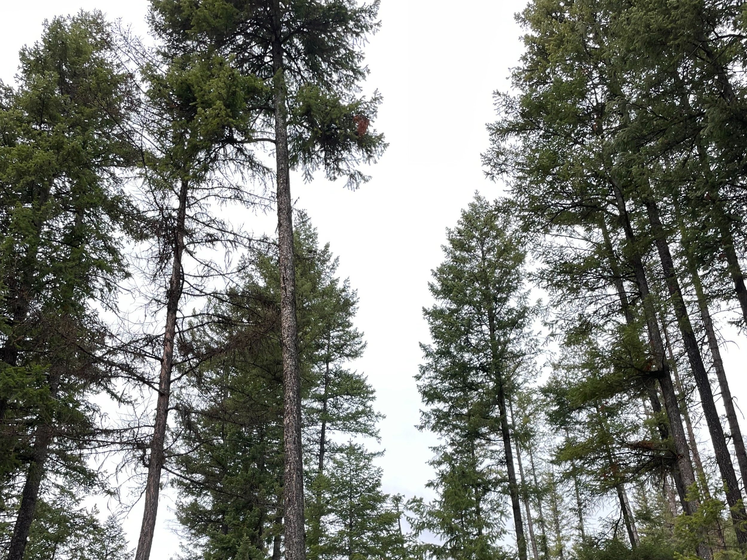
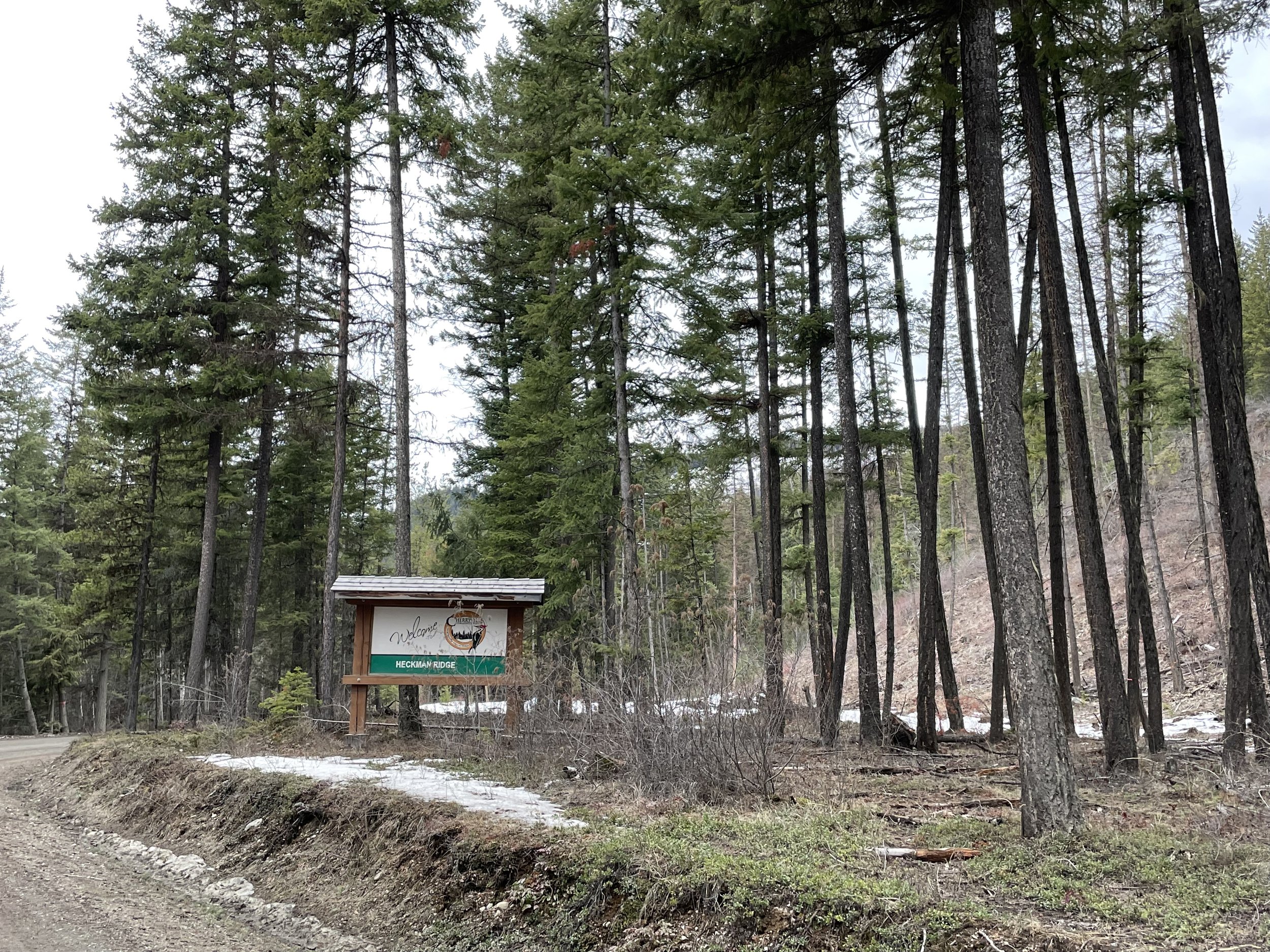
The Heckman Ridge Community Forest block hugs the eastern edge of Cherryville, un-incorporated community. Following Highway Six east into the Monashee Mountains, you will see the Cherryville Community Forest sign on your right at Heckman Ridge Forestry Service Road.
Directions: Look out for the CRMC sign on Highway 6 and turn onto Heckman Forestry Service Road. Continue until the second set of power-lines. A right hand turn will lead you along the enhanced access road (2021) under the power-lines; the northern boundary of this community forest block.

Power-line road reconstruction, 2021.
Alternatively, continuing straight on Heckman FSR, will bring you to the Flume Trail access, marked by a second CRMC Heckman Ridge sign. This is the trailhead for those wanting to hike the Flume Trail!
Continuing past the CRMC sign, pass the Shooting Range area, to find the H-10 Road at approximately 4.7kms on your right. This uphill road, will take you up the ridge to the southern/eastern access of the Heckman Ridge Community Forest block.
The Flume Trail landing.
Use at Your Own Risk*.
You too are steward of these lands. Respect sensitive habitats. Responsible and legal recreation only.

The Heckman Ridge Community Forest block boundaries are outlined in purple and access roads in red.
Access is shown off of Hwy 6 to the East.
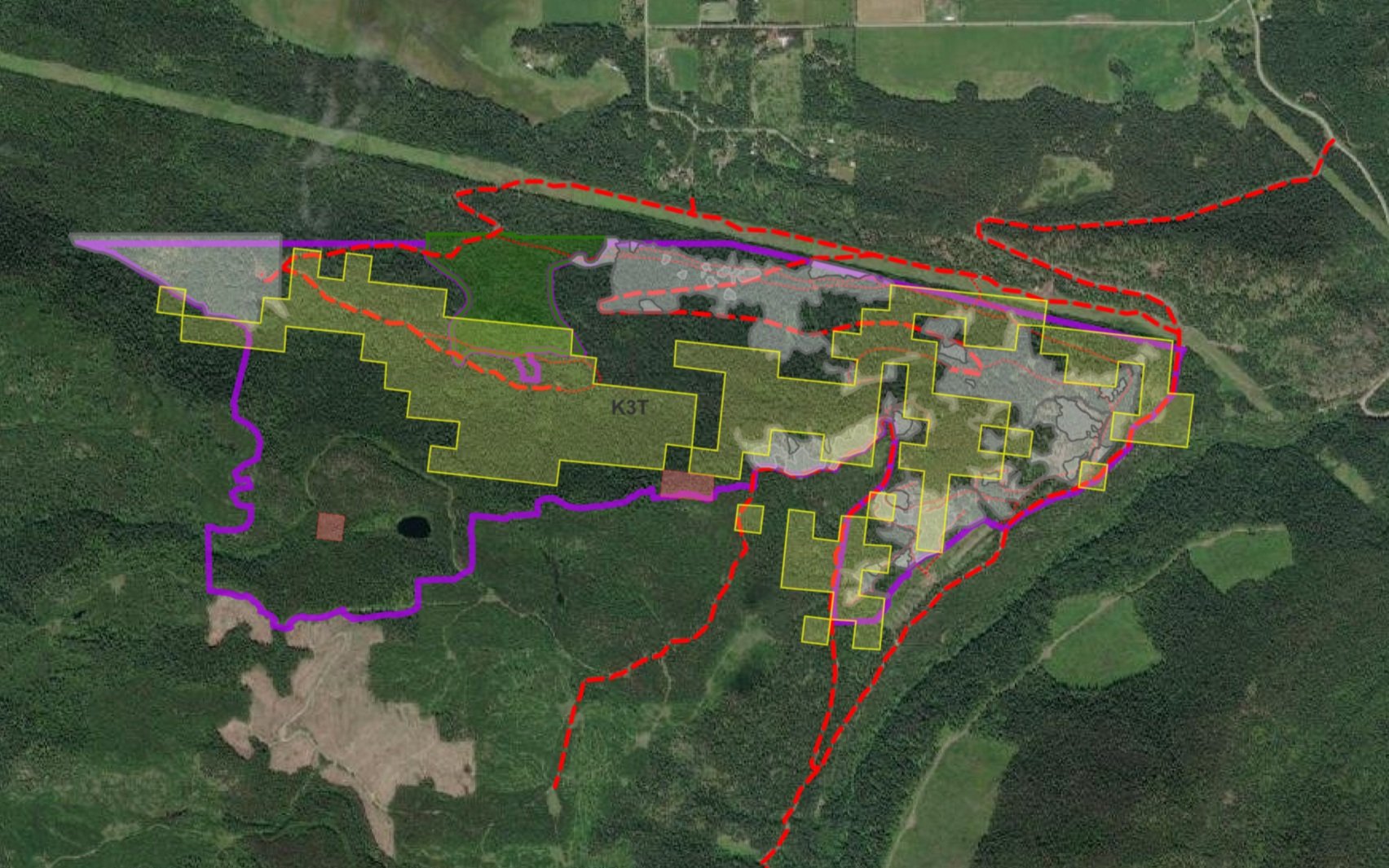
Interactive ARC GIS Map
Explore roads, trails, cut blocks, planting and Old Growth Deferral areas in the Heckman Ridge Community Forest block.
Forest Management on Heckman Ridge
Heckman Ridge Forest Development Unit is 350 hectares in size.
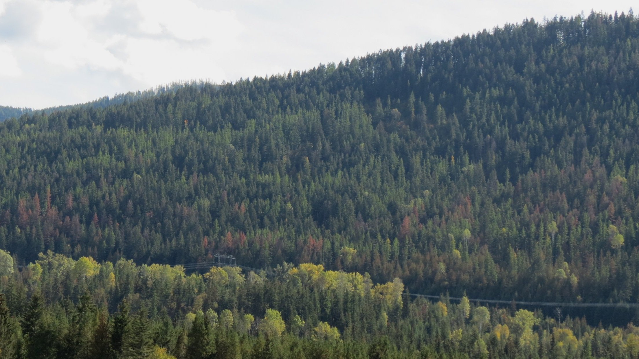
Guided by the principle written in the CRMC bylaws, CRMC’s volunteer directors have strived to preserve forest health. Challenged by climate change, invasive insects and unprecedented wind gusts causing ‘blow-down’, CRMC has engaged remedial forestry to salvage and enhance our community forest lands.
-
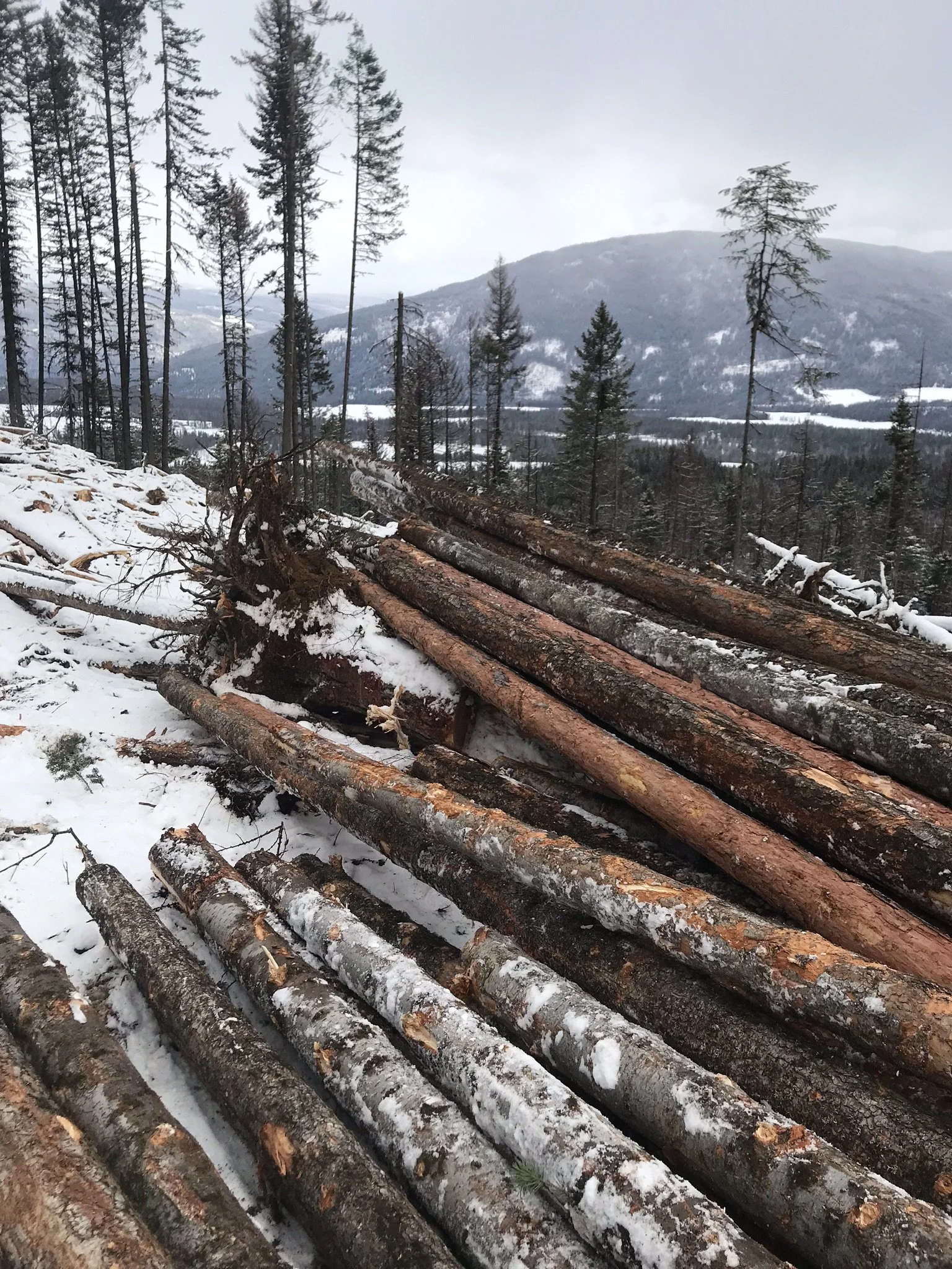
Harvesting with the intention of improving forest health, rather than harvesting for profit has guided operations in the Cherryville Community Forests. Within the years of 2014-2018 the community forests had major Fir Bark Beetle outbreaks. CRMC engaged contractors to remove dead standing and live attack (larva infested) trees in 2017, 2018, 2019 and 2020. Removing infected trees is a step towards protected remaining Fir trees from future beetle attacks.
-
In 2017 and 2018 the 2.8 km Flume Road was built to access various Fir Bark Beetle patches.
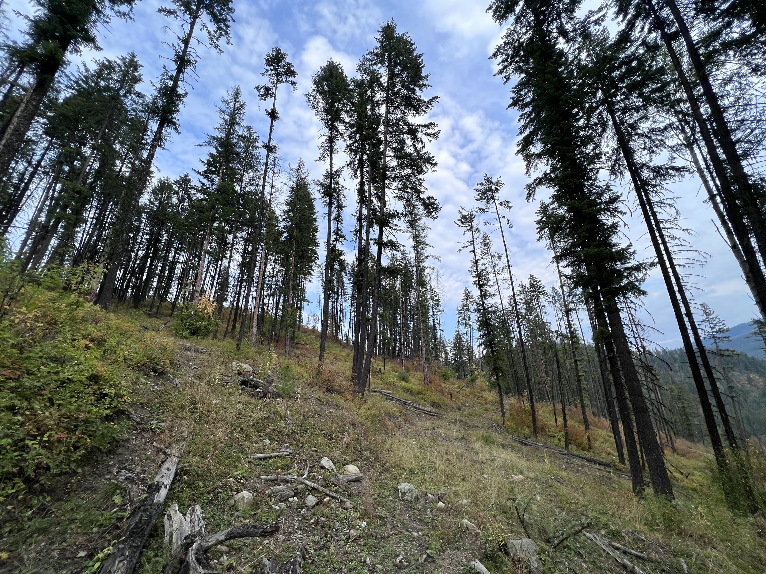
In 2019 trail rehabilitation and manual brushing was done on some of Heckman Ridge’s older blocks.
-
-In 2019, approximately 12,384 trees were planted in 10.2 hectares.
-In 2020, 26,710 trees were planted in 23.1 hectares.
-In 2021, approximately 11,669 trees were planted in 9.7 hectares.
Points of Interest

-
The Flume Trail is a historic site for Cherryville. Now a hiking trail, the Flume Trail follows the course of the water flume that carried water to Richlands area for fruit agriculture (circa 1913). Hikers are able to park along the forestry service road near the CRMC Heckman sign to access the trailhead. For more information visit the Richlands Historical Flume Trail page at cherryville.net.
-
Smoke Lake is a unique place to visit. Located within a 2 hectare volcanic caldera near a branch road off the H-10 road. The round small lake, provides an area of wetland habitat adjacent to the rocky arid ridge. There is a small creek that drains into Ferry Creek. This area has old cedar stands which remained unburned in the fires of 1880-1920.
To access Smoke Lake, follow the the H-10 road up past the 7km mark and take the first right hand road. At the next clearing, take the right hand spur road, continue for approximately 1 km and look out for a drop off to your left. The trail to smoke lake is on your left and short and steep.
-
The Flume Road was built in 2017 & 2018, 2.8kms long, to access fir bark beetle patches deeper in the Heckman Forestry Unit.
In 2021, the Power-line Road was redone providing smoother access to western blocks.